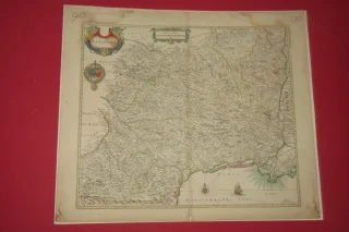
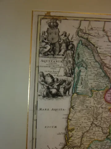
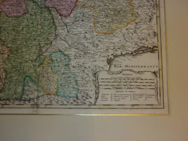
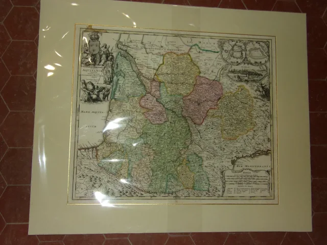
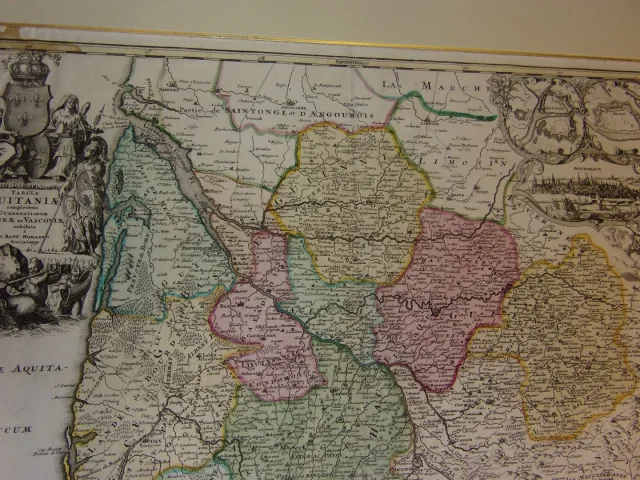
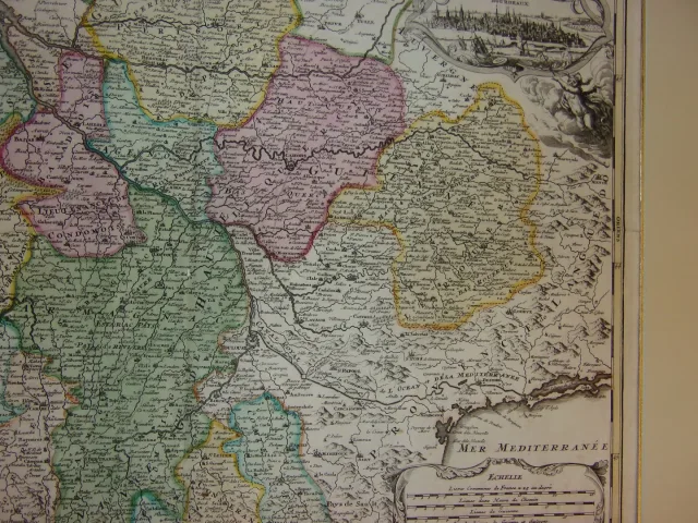
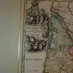
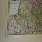
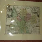
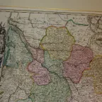
• Large Geographical Map Of Aquitaine By Johann Baptist Homann, 17th Century.
  • Large Geographical Map Of Aquitaine By Johann Baptist Homann, 17th Century.
  • Large Geographical Map Of Aquitaine By Johann Baptist Homann, 17th Century.
  • Large Geographical Map Of Aquitaine By Johann Baptist Homann, 17th Century.
  • Large Geographical Map Of Aquitaine By Johann Baptist Homann, 17th Century.
  • Large Geographical Map Of Aquitaine By Johann Baptist Homann, 17th Century.
  • Large Geographical Map Of Aquitaine By Johann Baptist Homann, 17th Century.
Sarl Cave

Large Geographical Map Of Aquitaine By Johann Baptist Homann, 17th Century.

340,00 €

Shipping

Shipping on quote

Request a quote
Hauteur 66 cm
Longueur 80 cm
Published on 22/01/2026

Description

A very beautiful and rare map depicting the province of Aquitaine, including Guyenne and Gascony, dating from the late 17th century. Engraved by the renowned cartographer Johann Baptist Homann (1664-1724), whose name appears on the map. This large, finely detailed map shows cities, rivers, borders, and territorial divisions, enhanced with hand-colored antique techniques. The composition is enriched by a substantial decorative Baroque cartouche, adorned with allegorical figures and coats of arms, characteristic of prestigious cartography from the late 17th century. Note: the map is protected by plastic. Dimensions: - external margin: 80 x 66 cm. - map image: 60 x 50 cm.

More from this dealer